



Charlotte's Rail Trail reveals how a transit path became a public place
The Blue Line corridor combines walking, cycling and places to pause, while remaining gaps make route planning useful.

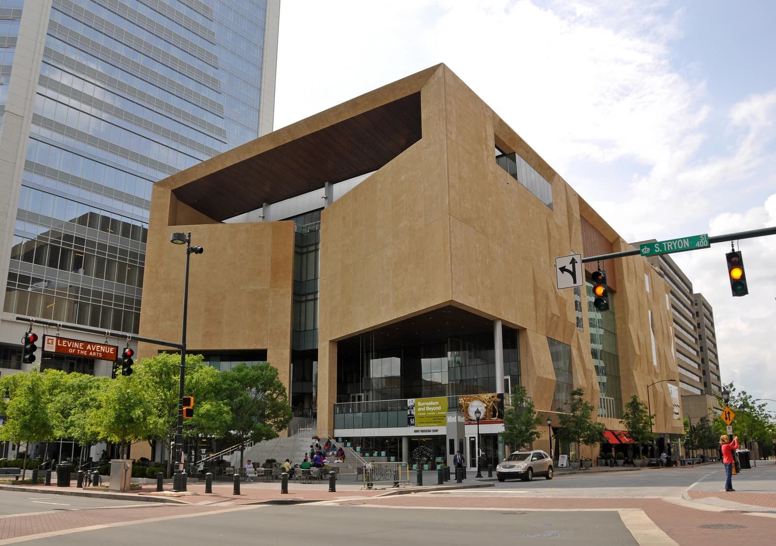
Image: Archival photograph of Charlotte's South End by Ken Lund, taken April 4, 2019; not a current route map, crossing condition or confirmation of a completed trail connection.
A route built to reach a station can become somewhere people choose to spend time. Charlotte's Rail Trail illustrates that change: the city describes an alignment that began as access to four transit stations and grew into a setting for walking, cycling, gathering and experiments in public space.
The city's current overview identifies an eleven-mile alignment between Sugar Creek and Arrowood stations, parallel to the LYNX Blue Line. The character changes along the way. Some portions have greenway-style paths and outdoor seating; others use more modest sidewalks or bicycle lanes. Remaining gaps mean the whole alignment should not be assumed to function as one uninterrupted path.
For a first outing, choose a short section with a clear start, endpoint and return plan. Consult current city route information and project notices, including work on connections, before travelling. Treat rail crossings and street crossings as part of the route, following signals and keeping clear of operating transit infrastructure.
Notice the spaces beside the path as well as the movement along it. A seat, planting bed or small gathering area can change how a block is used. The trail's interest lies partly in those everyday decisions about where a journey becomes an invitation to stop and spend time in the city.
Sources and visit details
Photo: Ken Lund from Reno, Nevada, USA / Wikimedia Commons. CC BY-SA 2.0. Resized and converted to WebP; the site wordmark may be added in display.



What do you think?
Share your perspective with your neighbors.
Free to join. Your draft stays here while you sign in.
Be the first to share your thoughts.